Type of activity
Mountain biking
Recommended period
All year round
Classification
Provincial/Medium to low mountain area
Reference ATL
Ente Turismo Langhe Monferrato Roero
Difficulty
2
Length
11,72 Km
Cycling time
2 h 50 min
Elevation
96 m
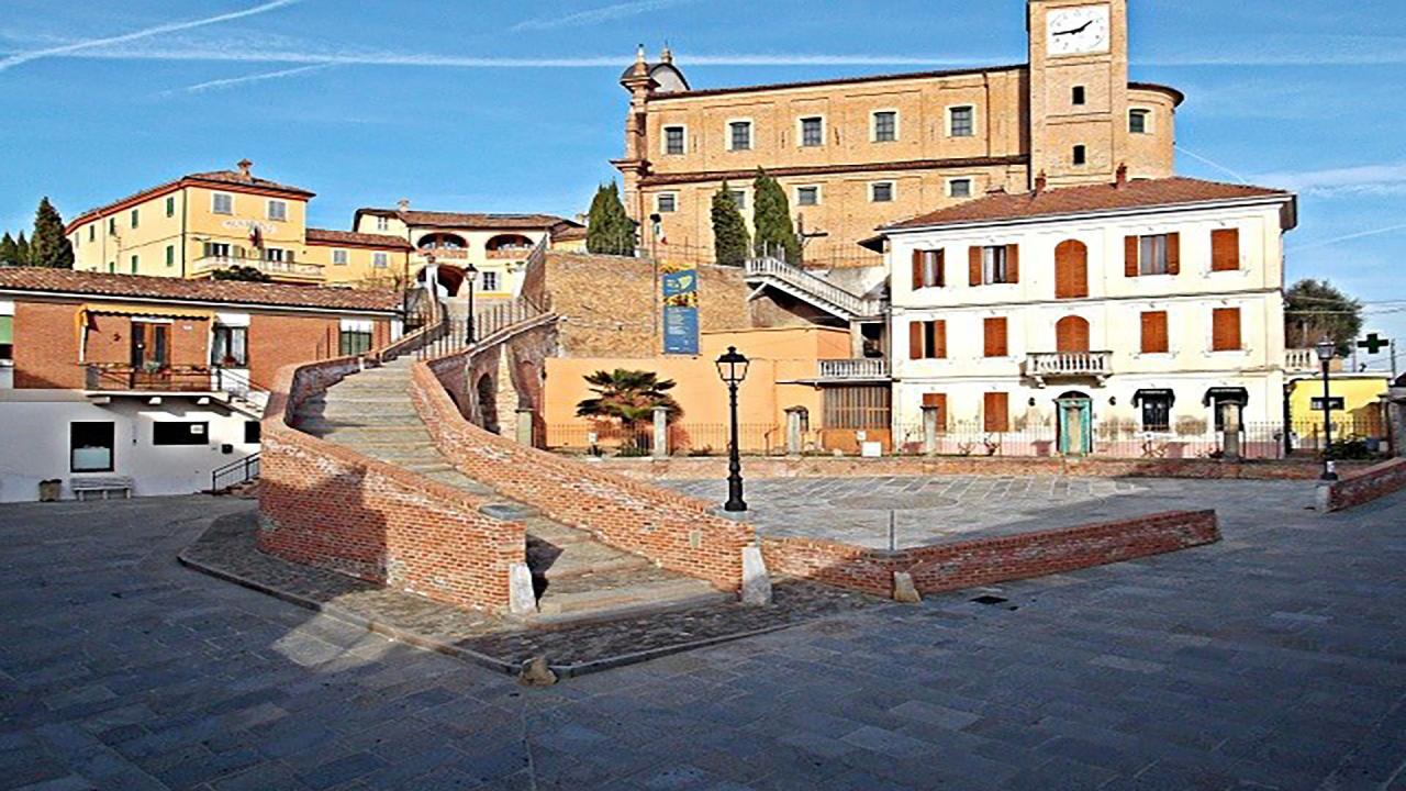
Departure point
Agliano Terme – Piazza San Giacomo
14041 Agliano Terme AT
265 m
Arrival point
Cappella della S.S. Annunziata
Via Duca d’Aosta – 14040 Castelnuovo Calcea AT
227 m
SECTION 1: AGLIANO TERME - MOMBERCELLI
Length: 5.59 km
Cycling time: 1 hour 20 min
Elevation: 39 m
The departure point is in the hamlet of Agliano, from where the trail heads north-east and continues up to S. Antonio, after which it turns left. Then, it climbs to the top of the hill, up to the crossroads between Montegrosso, Agliano and Castelnuovo Calcea and heads north, still on the hilltop, until it reaches Crocetta. After passing it, it enters the hamlet of Mombercelli, skirting the castle site from below, until it reaches the town hall square.


SECTION 2: MOMBERCELLI - CASTELNUOVO CALCEA
Length: 6.13km
Cycling time: 1 hour 30 min
Elevation: 57 m
The trail heads east, through the town centre, and then exits, turning right and crossing the valley floor for about 600 metres, before turning right and climbing up the hillside to reach Moncucco. After passing it, it continues south-west along the hilltop, first passing Cavino and then Valmanella, and descends. It then turns left and, at the following crossroads, turns left again. It follows the route halfway up the hillside, bypassing Bricco Mareto and then descends to the bottom of the valley in Toetta. It then rejoins the road, turns left and enters the hamlet of Castelnuovo Calcea, and continues to follow the main road up to the chapel of Santissima Annunziata, where the section ends.